

Construction robotics
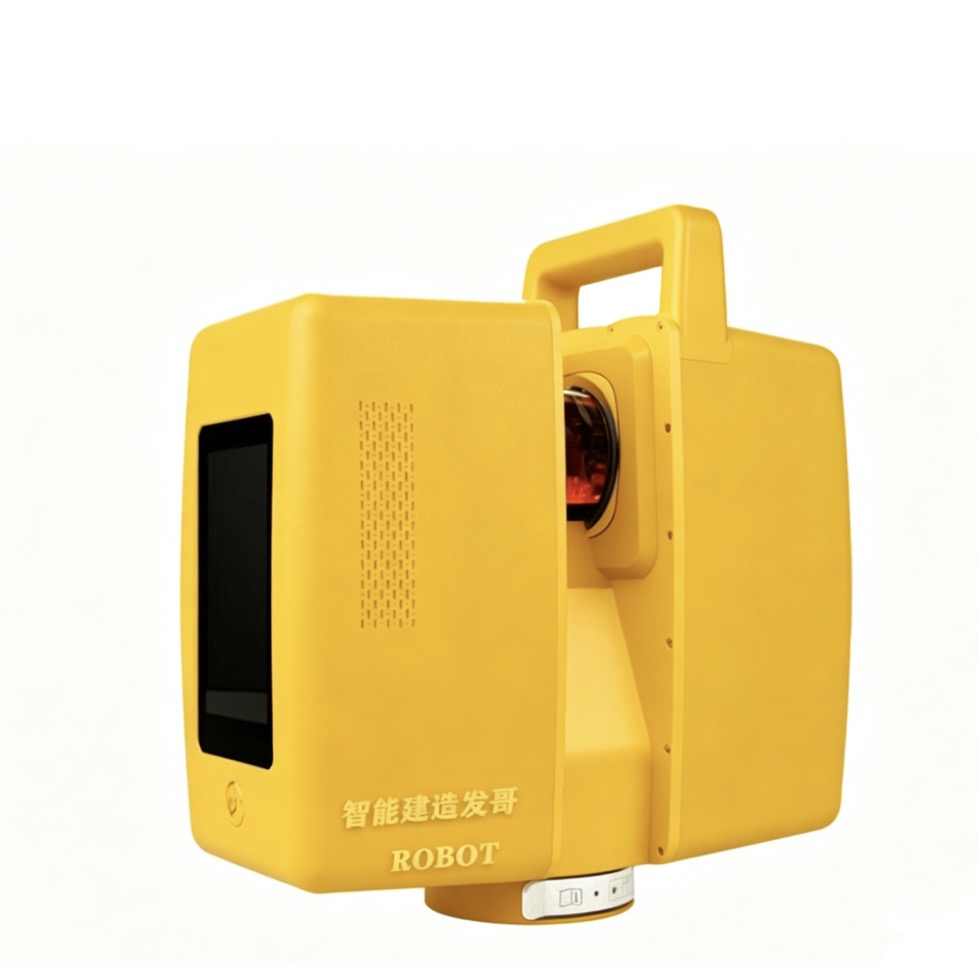
Portable 3D Laser Scanning Measuring Robot
Model: not specified
Product Overview A new-generation portable 3D laser scanning robot for automated building survey (real-time dimensional quality control). It replaces manual tape/level measurement with full-point-cloud scanning: One-tap operation, offline scanning, no constant attendance required Auto-outputs room dimensions, height, squareness, wall flatness/verticality, floor level difference, ceiling flatness, door/window opening size, etc. Full-wall point cloud with hotspot / […]
Discuss this robotApplications
Application Scenarios
Building interior survey and quality inspection
Concrete structure stage (after formwork removal)
Masonry stage
Plastering stage
Civil work handover
Finishing and decoration works
Pre-delivery inspection / unit acceptance
Reverse modeling and BIM-ready data capture
Facade measurement support
Overview
Product Overview
- One-tap operation, offline scanning, no constant attendance required
- Auto-outputs room dimensions, height, squareness, wall flatness/verticality, floor level difference, ceiling flatness, door/window opening size, etc.
- Full-wall point cloud with hotspot / out-of-tolerance mapping for rework guidance
- Edge computing + semantic modeling, auto-generates colored point cloud and mesh model
- Exports to common point-cloud / BIM formats for design coordination
- Traditional manual survey: 15–20 min/room → automated scan: approx. 2–3.5 min/station
Key Features
- Full-field survey: 100% wall coverage instead of sampled points
- Auto report: custom rules, thresholds, datum values
- Full-wall deviation map: contour-style visualization of bulging/hollow areas
- High precision: ±1.5 mm
- Edge AI: automatic target/wall/opening recognition, auto-registration
- Cloud collaboration: data traceability, web viewing, POI marking
- Open data: compatible with third-party design tools
Specifications
| Laser wavelength | 905 nm |
|---|---|
| Laser class | Class 1 (IEC 60825-1:2014, eye-safe) |
| Scan range | 0.7 m – 30 m |
| Field of view | 360° horizontal / 320° vertical |
| Distance accuracy | ±1.5 mm @ 1–10 m |
| Measuring time | ~2–3.5 min per station |
| Coverage diameter | up to 20 m (survey mode) / 60 m (modeling mode) |